undefined Logo

LENRD is looking for willing landowners with interest in supporting a potential project on their property. Please contact the LENRD Project Manager, Curt Becker, at 402.371.7313 or cbecker@lenrd.org.

Welcome to this project’s home page. The purpose of this project will be to provide flood risk reduction to the Maple Creek Watershed. We are currently in the formulate alternatives phase of the planning process. A variety of potential flood reduction alternatives have been evaluated as part of this phase but no alternatives have been selected.  The NRD is looking for interest in potential flood reduction practices and willing landowners to ensure a favorable alternative for the Maple Creek community to carry into the next steps of this project.  Please contact Curt Becker with the LENRD at 402.371.7313 if you are interested in potential practices on your land.


Project Links

Please follow these links for more information and to provide feedback.

Project Map

Please visit the Project Map to provide comments about specific locations of areas of concern or interest within the Project watershed.

See Project Map

Public Scoping Meeting

Click the link below to view the recorded virtual public scoping meeting held March 2, 2021, at 6:00 pm.

Advisory Team Meetings

Advisory team meetings were held on 4/9/2021 and 8/17/2021. Summaries from the meetings are available here.

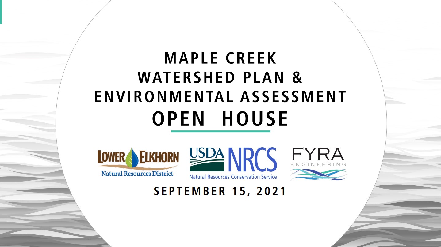
Public Open House - September 2021

A public open house was held on September 15, 2021, from 6:30 pm to 8:00 pm.  Click the link below to view the recorded meeting. Comments received at the meeting can be found below under "Other Documents."

Public Open House - February 2022

A public open house was held on February 16, 2022. Click the link below to view the presentation given at the meeting. 

Survey

Please take the survey to provide input and feedback on the Project and ask any questions you may have.

Existing Watershed Flooding

Flooding During the 5-year Storm Event
A storm event with a 20% chance of occurring in any given year
 Download
Flooding During the 10-year Storm Event
A storm event with a 10% chance of occurring in any given year
Flooding During the 25-year Storm Event
A storm event with a 4% chance of occurring in any given year
Flooding During the 100-year Storm Event
A storm event with a 1% chance of occurring in any give year

Modeling output (inundation extents) used to create figures was discussed with the Advisory Team and the models were optimized using watershed landowner and stakeholder knowledge of real-world flooding frequencies and extents.

Other Documents

WFPO Grant Application
Application to receive Watershed and Flood Prevention Operations (WFPO) funds
Public Open House Comments
Comments received at the 9/15/21 Public Open House

Project Progress and Phases

Phase Complete

Project Initiation

Phase Complete

Project Scoping

Phase Complete

Determine Objectives

Phase Complete

Inventory and Analyze Resources

Phase in Progress
Current Phase

Formulate and Evaluate Alternatives

Establish watershed goals and metrics. Identify alternatives that fit within the USDA-NRCS WFPO program and can achieve the goals and meet the metrics. Complete a hydrology and hydraulics (H&H) assessment for the entire watershed and use it to formulate and screen alternatives. 

Future Phase

Draft Plan-Environmental Assessment Completion and Review

Future Phase

Final Plan-Environmental Assessment

Need help?

Here is a list of our frequently asked questions

Curt Becker, LENRD Projects Manager

cbecker@lenrd.org
402-371-7313 

This Project will gather information from landowners, agencies, and other stakeholders to identify the needs and goals of the watershed community. This information will be used to help guide the environmental and engineering analysis and to identify and develop preliminary designs for site-specific projects within the watershed.  Projects included within this Plan could be eligible for future funding from NRCS to complete design and construction.

The LENRD has applied for and obtained funding from the Natural Resources Conservation Service (NRCS) Watershed and Flood Prevention Operations (WFPO) for development of this Watershed Plan-EA.